Back
hike
Back
hike
2-day hike from the Refuge d'Avérole - Stage 2 - From the Refuge d'Avérole to Vincendière via the mule track
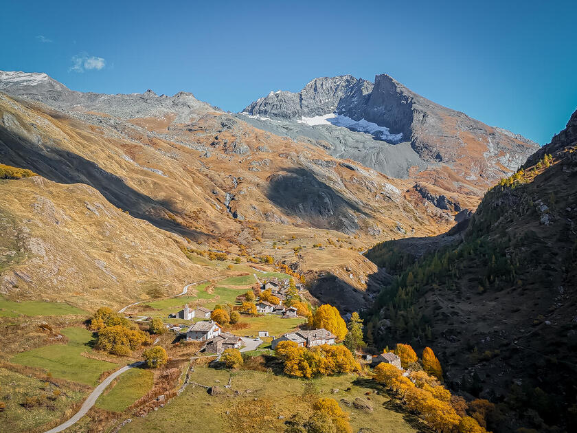
At the edge of the Bessans plateau, the green Avérole valley opens up, overlooked by the impressive blue-tinged Charbonnel Glacier.
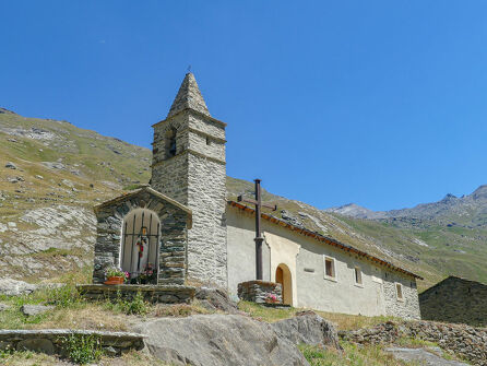
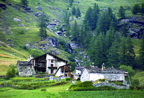
A picturesque trail winding through meadows and mountain hamlets, past oratories and chapels along the Avérole stream.
Additional welcome
The Avérole refuge has been awarded the "Refuge en Famille" label. You must book your overnight stay at the refuge in advance. Stay on the trails and follow the signs, and take your trash with you.
Environments
-
 Waterside
-
Riverside
-
Mountain view
-
Mountain location
Rates
Free access.
Itinerary
-
 Distance
10km
Distance
10km
-
 Route type
One-way ticket
Route type
One-way ticket
-
 Elevation gain
384m
Elevation gain
384m
-
 Negative gradient
770m
Negative gradient
770m
-
 Daily duration
3:45 a.m.
Daily duration
3:45 a.m.
-
 Signposted itinerary
Yes
Signposted itinerary
Yes
-
 Beaconing accuracy
Yellow blade markings.
Beaconing accuracy
Yellow blade markings.
-
 Nature of the land
Stone,
Ground,
Not suitable for strollers
Nature of the land
Stone,
Ground,
Not suitable for strollers
-
 Maximum altitude
2435m
Maximum altitude
2435m
Opening period
This route is accessible outside of snow season and is subject to favorable weather conditions. Check the local weather forecast in real time up until the day of departure.
Additional opening
-
Subject to favorable weather
-
Subject to snow conditions
Animals
Pets allowed : Yes
Pets allowed with supplement: No
Pets are allowed under certain conditions. They must be kept on a leash on the trails and/or in the presence of herds or hikers. They are allowed in the shelter.
Guidebook with maps/step-by-step
-
2/ This morning, if you're feeling up to it, why not go a little further to explore this wild valley? It would be a shame not to climb up to the "Pas de la mule," hopping across the streams, before descending into the valley on the left bank of the stream at the shepherd's hut.
If you're tired, you don't have to take the detour via the "Pas de la mule," but can cross over to the left bank via the bridge below the refuge parking lot and descend gently back to your starting point.


-
Distance
10km
-
Daily duration
3:45 a.m.
-
Elevation gain
384m
-
Negative gradient
770m