

 Back
hike
Back
hike
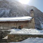
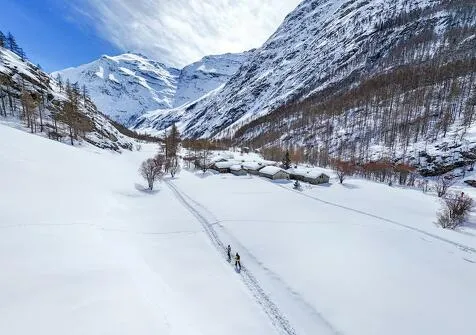
Snowshoeing itinerary: The Chapel Trail
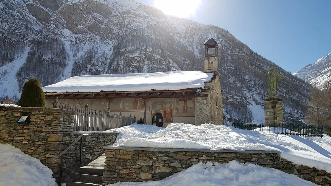
The loop leads to the discovery of the small chapels that have watched over Bessans for centuries. Saint-Antoine, nestled in its snowy surroundings, and Saint-Claude, unassuming yet radiant, mark the route like two spiritual havens in the heart of winter.
Description
Saint-Claude was invoked to guard against the harmful effects of frosts due to late snowfalls.
The Saint-Antoine Chapel, a listed monument, dates from the 16th century. The exterior frescoes represent the procession of Vices and Virtues as well as Saint-Antoine and characters relating to its construction.
Additional welcome
Check the weather conditions and avalanche risk before you set out (weather services, mountain rescue services, professionals, tourist office...).
Make sure your gear and clothing are appropriate for the forecast.
Postpone your activity if the weather forecast is poor. Follow safety instructions and do not stray from marked trails in winter.
Environments
-
 Mountain view
-
Mountain location
-
Ski resort
-
Less than a 10-minute walk from a bus stop
Rates
Free access.
Itinerary
-
 Distance
5.3km
Distance
5.3km
-
 Route type
LOOP
Route type
LOOP
-
 Elevation gain
40m
Elevation gain
40m
-
 Negative gradient
40m
Negative gradient
40m
-
 Daily duration
2:00 a.m.
Daily duration
2:00 a.m.
-
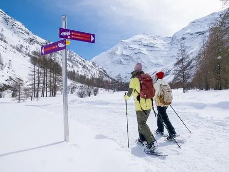
 Signposted itinerary
Yes
Signposted itinerary
Yes
-
 Beaconing accuracy
Route 7
Beaconing accuracy
Route 7
-
Tricky passage
This route crosses meadows. Without snow, it is impassable.
-
 Nature of the land
Ungroomed trail
Nature of the land
Ungroomed trail
-
 Maximum altitude
1735m
Maximum altitude
1735m
Opening period
Daily from December 15 to April 1.
Subject to favorable snow and weather conditions.
Additional opening
-
Subject to favorable weather
-
Subject to snow conditions
Labels
Location
As hazards may occur at any time on the routes, the GPX tracks provided are not contractual. They are provided for information only. Riders use them at their own risk, depending on their level of technological proficiency and their understanding of the terrain.

Animals
Pets allowed : Yes
Pets allowed with supplement: No
Out of respect for wildlife, please keep your dog on a lead.
Guidebook with maps/step-by-step
-
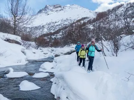
1/ From the Espace sportif Le Carreley parking lot, follow the road for a few meters before crossing it. Go around the houses and onto the Plateau des Fossas, then take the path at the edge of the forest.
2/ 0 h 20 - Once on this path, continue toward the Arc River, crossing it and following its bank. Cross the river a second time to reach Chapelle Saint-Claude.
3/ 1 hr 25 min - From this point, continue toward Chapelle Saint-Antoine, then return to the Carreley parking lot.
4/ 2 hrs - Le Carreley sports area.


-
Distance
5.3km
-
Daily duration
2:00 a.m.
-
Elevation gain
40m
-
Negative gradient
40m


-
Bessans
 hike
hikeSnowshoeing itinerary: Les Moulins
- Distance 7.5km
- Daily duration 02:30
- Elevation gain 55m
- Negative gradient 55m
-
Bessans
 hike
hikeSnowshoeing itinerary: The Trail of the...
- Distance 6.5km
- Daily duration 02:30
- Elevation gain 80m
- Negative gradient 80m
-
Bessans
 hike
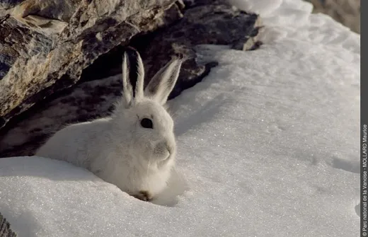
hikeSnowshoe itinerary: The White Hare
- Distance 9.9 km
- Daily duration 3:45
- Elevation gain 60m
- Negative gradient 60m
-
Bessans
 hike
hikeSnowshoe itinerary: Les Vincendières
- Distance 7.9 km
- Daily duration 02:45
- Elevation gain 85m
- Negative gradient 85m