
 Back
hike
Back
hike
Snowshoeing itinerary: Les Moulins
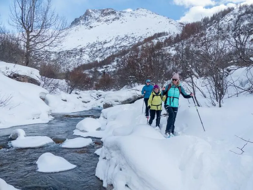
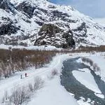
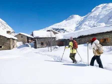
Follow the course of the Arc River along the Moulins Loop. Nestled between forests and snow-covered banks, the trail offers a peaceful stroll where the murmur of water accompanies every step and the surrounding mountains frame the journey in a white showcase.
Description
The Arc River, which rises at the Col de l'Iseran, winds its way for 120 km before joining the Isère River in the Combe de Savoie. Its waters have carved out the valleys of Haute Maurienne Vanoise and led to the construction of dams and hydroelectric power plants to generate renewable energy.
Additional welcome
Check the weather conditions and avalanche risk before you set out (weather services, mountain rescue services, professionals, tourist office...).
Make sure your gear and clothing are appropriate for the forecast.
Postpone your activity if the weather forecast is poor. Follow safety instructions and do not stray from marked trails in winter.
Environments
-
 Mountain view
-
Mountain location
-
Less than a 10-minute walk from a bus stop

Rates
Free access.
Itinerary
-
Distance
7.5km
-
Route type
LOOP
-
Elevation gain
55m
-
Negative gradient
55m
-
Daily duration
2:30 a.m.
-
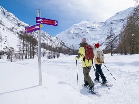
Signposted itinerary
Yes
-
Beaconing accuracy
Signposted Route No. 2
-
Tricky passage
This route crosses meadows. Without snow, it is impassable.
-
Nature of the land
Groomed trail
-
Maximum altitude
1735m


Opening period
Daily from December 15 to April 1.
Subject to favorable snow and weather conditions.
Additional opening
-
Subject to favorable weather
-
Subject to snow conditions
Location
As hazards may occur at any time on the routes, the GPX tracks provided are not contractual. They are provided for information only. Riders use them at their own risk, depending on their level of technological proficiency and their understanding of the terrain.

Animals
Pets allowed : Yes
Pets allowed with supplement: No
Out of respect for wildlife, please keep your dog on a lead.
Guidebook with maps/step-by-step
-
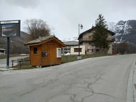
1/ From the Espace sportif Le Carreley parking lot, take the groomed trail that runs alongside the road up the valley to the first intersection.
2/ 0 h 10 - After carefully crossing the road, continue through a mix of wooded areas and open fields until you reach the banks of the Arc.
3/ 0 h 40 - Follow the river, then at the second bridge, head toward the tennis courts through snow-covered fields. Continue on to cross the Torrent du Ribon.
4/ 1 h 10 - Once over the torrent, skirt around the Espace Ludi-lacs, then cross the Torrent du Ribon again to return to the Bessans dwellings and join Rue de la Chapelle.
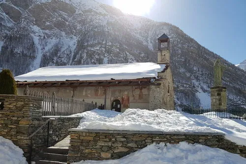
5/ 2 hrs 15 mins - From this street, reach the Chapelle Saint-Antoine, then continue to the Espace sportif Le Carreley parking lot.
6/ 2 hrs 30 mins - Espace sportif Le Carreley.


-
Distance
7.5km
-
Daily duration
2:30 a.m.
-
Elevation gain
55m
-
Negative gradient
55m


-
Bessans
trade and service
Bus stop N°202 : Hameau de la neige
-
Bessans
hike
Snowshoeing itinerary: The Discovery
- Distance 3.8km
- Daily duration 01:15
- Elevation gain 35m
- Elevation loss 35 m
-
Bessans
hike
Snowshoeing itinerary: The Trail of the...
- Distance 6.5km
- Daily duration 02:30
- Elevation gain 80m
- Negative gradient 80m
-
Bessans
hike
Snowshoeing itinerary: The Trail of...
- Distance 5.3km
- Daily duration 2:00
- Elevation gain 40 m
- Elevation loss 40 m
-
Modane
hike
Snowshoeing itinerary: The P... Trail
- Distance 51 km
- Elevation gain 1,670 m
- Elevation loss 670 m
-
Bessans
hike
Snowshoe itinerary: The White Hare
- Distance 9.9 km
- Daily duration 3:45
- Elevation gain 60m
- Negative gradient 60m
-
Bessans
hike
Snowshoe itinerary: Les Vincendières
- Distance 7.9 km
- Daily duration 02:45
- Elevation gain 85m
- Negative gradient 85m